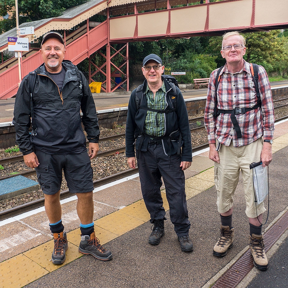
A new collaboration to help develop a set of ‘Rail Trails’ in the region has begun between the Worcestershire Community Rail Partnership, the Worcester Ramblers and a University of Worcester academic.
The trails are walking routes that link railway stations. The idea is that the public either walk a stretch of new path and come back to the start point on the train or do it the opposite way round.
The trails will be developed utilising the existing knowledge of the area’s walking routes supplied by Worcester Ramblers’ Lyndon Bracewell, the walking guide design and mapping expertise of the University’s Graphic Design Lecturer, Andy Stevenson, and the funding support of the Worcestershire Community Rail Partnership.
To date the team – who all work part time on the project – have been developing, assessing and testing the individual walks to be involved in the project’s first phase while also evolving a visual identity that will now percolate through all further project outputs.
William Whiting, Chair of Worcestershire Community Rail Partnership, said: “I am very excited to promote linear walks trails from stations in Worcestershire. Many other areas of the country have walks from stations as a way of encouraging use of local rail services and at the same time promoting healthy lifestyles. As a keen walker I believe the best way to see the countryside is by walking and these rail trails will provide the opportunity to explore some lovely parts of Worcestershire.”
The first phase is a 42-mile-long walking trail linking all 8 stations on the Worcestershire section of the ‘Cotswold Line’ between Great Malvern and Honeybourne. Further phases will link Worcester to all stations in the north of the County.
Lyndon Bracewell of Worcester Ramblers is developing and checking the routes with the help and local knowledge of other local members as well as the County Council’s Public Rights of Way team.
“I was keen to find a way to encourage more people to explore the County’s wonderful countryside and in a healthy and sustainable way,” he said. “Providing walking opportunities using the existing local rail network was an ideal way of achieving this. Even though I already knew the area quite well, I’ve been really surprised at how scenic and interesting the routes are.”
The team is aiming to have an initial tranche of outputs ready as downloadable pdf guide sheets and corresponding GPX files that can be used on walking apps in the New Year.
Senior Lecturer in Graphic Design at the University, Andy Stevenson, said: “This is a lovely ‘live’ collaboration between local organisations that fits with the Graphic Design course’s initiative to evolve ‘Design for community good’ where we aim to support charitable or community organisations with our various skillsets. In addition, this project’s aims, and outputs are also allied to some of my own research interests within my part-time PhD studies. As such it’s also an example of how ongoing research in the design and visual communications area at the University can provide practical help via knowledge exchange projects within the community too.”
A new development blog helping to document the project’s progress has also been developed and this can be seen at https://rail-trails.blogspot.com/


